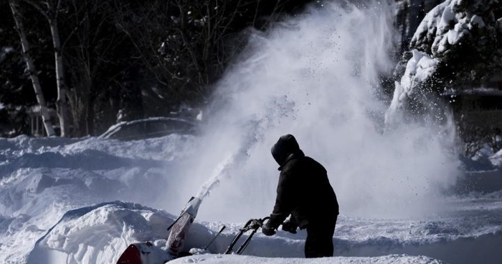
Some areas of Ontario are forecasted to see up to 60 cm of snow as Environment Canada has issued snow squall warnings for a portion of the province on Thursday.
Snow squall warnings are in effect for a chunk of cottage country including Bracebridge, Owen Sound and Kawartha Lakes. The warning also covers Barrie, Orillia and Peterborough to Bellville areas.
Environment Canada’s warning snows the stretch from Barrie to Tobermory could see up to 60 cm of snow as lake effect snow squalls are expected on Thursday into Friday morning.
“Northwest winds gusting up to 60 km/h can result in blowing snow and significantly reduced visibility at times,” the weather agency said.
“Visibility will be suddenly reduced to near zero at times in heavy snow and blowing snow. Rapidly accumulating snow will make travel difficult.”
Other areas under the snow squall warning will see anywhere from 25 cm to 40 cm.
Meanwhile, weather advisories are issued for the Parry Sound area and parts of southwestern Ontario including Kitchener, Waterloo, Guelph, Stratford to Grand Bend where 5 to 10 cm of snow is expected.

Get breaking National news
For news impacting Canada and around the world, sign up for breaking news alerts delivered directly to you when they happen.
The lake effect snow is expected to gradually weaken by Thursday afternoon.
“Surfaces such as highways, roads, walkways and parking lots may become difficult to navigate due to accumulating snow. Take extra care when walking or driving in affected areas,” Environment Canada said.
There are no warnings or advisories issued for Toronto or the immediate Greater Toronto Area as well as the Windsor to London to Niagara stretch.

In early December 2024, cottage country was hit with a massive, historic snowfall that saw 140 cm of snow dump onto the region prompting a state of emergency.
Geoff Coulson, a warning preparedness meteorologist with Environment Canada said that snowfall was the most they have seen in the Muskoka region in almost 30 years.
“Some of these accumulations are definitely historic as we as we look back and in terms of some big events of past these amounts that we’re talking about, certainly rival many of the biggest storms we’ve ever had,” Coulson said in December.
Global New meteorologist Anthony Farnell said it’s unbelievable how much snow fell in short period of time.
“These are numbers that basically are an entire month’s worth of snow in the middle of winter, and it’s occurring really early and all at once,” Farnell said.
He noted that weather was unusual given how mild fall was leading to the Great Lakes and Georgian Bay being at record warm temperatures for November.
— With files from Global News’ Sawyer Bogdan
© 2025 Global News, a division of Corus Entertainment Inc.


